
Elevation 970 m | Local time Wednesday 5:32 PM | |
 | ||
Weather 19°C, Wind E at 13 km/h, 84% Humidity | ||
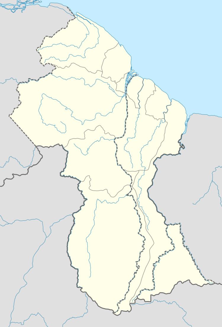
Paramakatoi is a community in the Potaro-Siparuni Region of Guyana, located at 4°43′0″N 59°42′0″W, Altitude 970 metres. It is 11 miles east of Kurukabaru.
Map of Paramahatoi, Guyana
Paramakatoi functions as a regional centre for the catchment area. And is the largest and most developed of Amerindian communities in the region.
There is an airfield (Airport code PMT) at Paramakatoi.
References
Paramakatoi Wikipedia(Text) CC BY-SA