Population Uninhabited | ||
 | ||
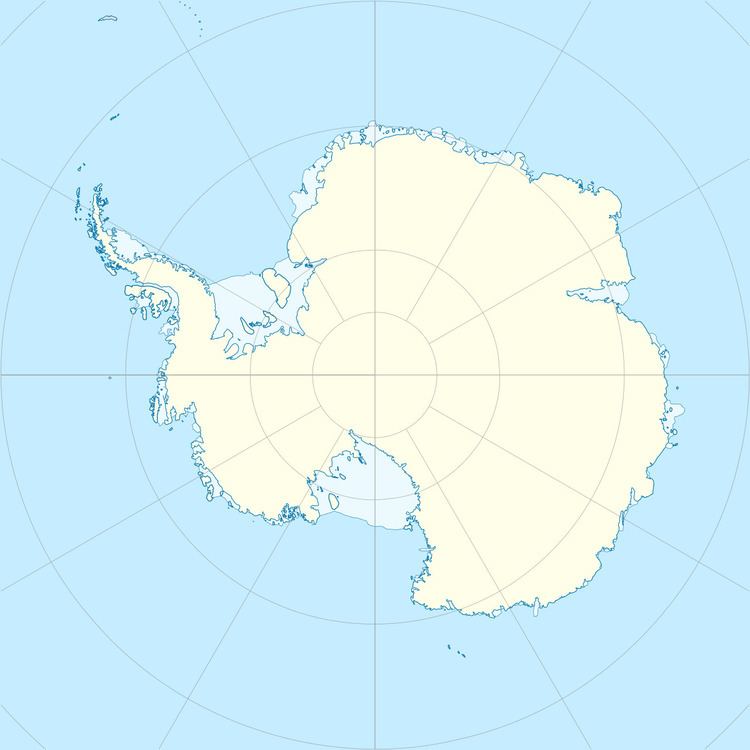
Parallactic Island is the most northwesterly of the Parallactic Islands in Holme Bay, Mac. Robertson Land. Mapped by Norwegian cartographers from air photos taken by the Lars Christensen Expedition, 1936-37. So named by Antarctic Names Committee of Australia (ANCA) because a photo-theodolite was erected on the island for parallactic measurement of the aurora by ANARE (Australian National Antarctic Research Expeditions) in 1961.
References
Parallactic Island Wikipedia(Text) CC BY-SA
