Country United States FIPS code 35-55270 Elevation 1,620 m Population 4,256 (2010) | Time zone Mountain (MST) (UTC-7) GNIS feature ID 0899835 Area 2.6 km² Area code 505 | |
 | ||
Agate hills road northwest albuquerque eagle ranch paradise hills new mexico to bosque m
Paradise Hills is a census-designated place (CDP) in Bernalillo County, New Mexico, United States. The population was 4,256 at the 2010 census. It is part of the Albuquerque Metropolitan Statistical Area.
Contents
- Agate hills road northwest albuquerque eagle ranch paradise hills new mexico to bosque m
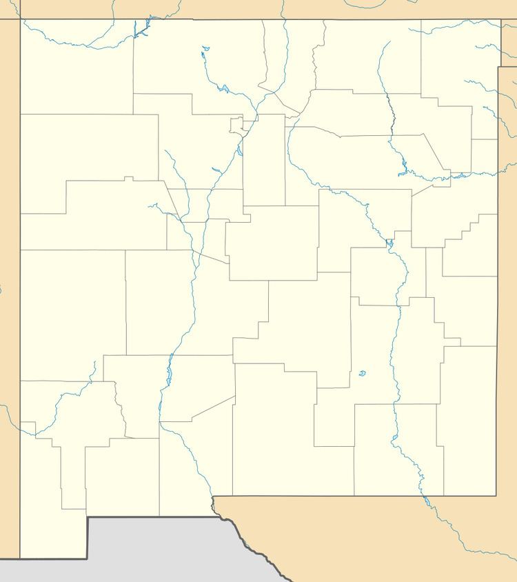
- Map of Paradise Hills Paradise Hills Civic NM 87114 USA
- Geography
- References
Map of Paradise Hills, Paradise Hills Civic, NM 87114, USA
Geography
Paradise Hills is located in northern Bernalillo County on high ground rising to the west of the valley of the Rio Grande. The unincorporated CDP is entirely surrounded by the city of Albuquerque. Paradise Hills is bordered to the east by the Desert Greens Golf Course, formerly known as Paradise Hills Golf Course.
According to the United States Census Bureau, the CDP has a total area of 1.0 square mile (2.6 km2), all of it land.
References
Paradise Hills, New Mexico Wikipedia(Text) CC BY-SA
