
Founded 1915 Area code(s) (+52) 200 Area 47.2 km² Local time Tuesday 10:42 PM | Postal code 29660, 29661 Elevation 1,470 m Population 10,870 (2010) | |
 | ||
Weather 13°C, Wind E at 6 km/h, 87% Humidity | ||
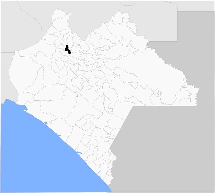
Pantepec is a town and one of the 119 municipalities of Chiapas, in southern Mexico. The Chiapas Zoque language is spoken in this municipality.
Map of Pantepec, Chis., Mexico
As of 2010, the municipality had a total population of 10,870, up from 8,566 as of 2005. It covers an area of 47.2 km².
As of 2010, the town of Pantepec had a population of 1,820. Other than the town of Pantepec, the municipality had 54 localities, the largest of which (with 2010 populations in parentheses) was: San Isidro las Banderas (1,309), classified as rural.
References
Pantepec, Chiapas Wikipedia(Text) CC BY-SA