
Time zone CST (UTC-6) Elevation 205 m Local time Tuesday 2:41 PM Population 6,647 (2010) | Established November 7, 1865 ZIP codes 62557 Area 127.6 km² Zip code 62557 | |
 | ||
Weather 15°C, Wind N at 26 km/h, 32% Humidity | ||
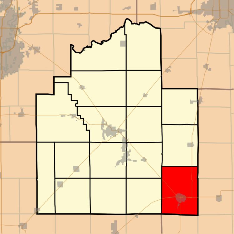
Pana Township is one of seventeen townships in Christian County, Illinois, USA. As of the 2010 census, its population was 6,647 and it contained 3,213 housing units.
Contents
- Map of Pana Township IL 62557 USA
- Geography
- Cities towns villages
- Cemeteries
- Major highways
- Airports and landing strips
- Lakes
- School districts
- Political districts
- References
Map of Pana Township, IL 62557, USA
Geography
According to the 2010 census, the township has a total area of 49.25 square miles (127.6 km2), of which 49.03 square miles (127.0 km2) (or 99.55%) is land and 0.22 square miles (0.57 km2) (or 0.45%) is water.
Cities, towns, villages
Cemeteries
The township contains these three cemeteries: Calvary, Linwood and Mound.
Major highways
Airports and landing strips
Lakes
School districts
Political districts
References
Pana Township, Christian County, Illinois Wikipedia(Text) CC BY-SA