Total islands 1 Highest elevation 131 m (430 ft) Elevation 131 m | Major islands Pana Numara Highest point Mount Pana Numara Area 193 ha Adjacent body of water Solomon Sea | |
 | ||
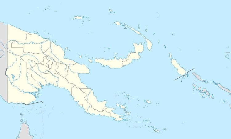
Pana Numara Island is an island in Papua New Guinea, part of the Calvados Chain within the Louisiade Archipelago. It is located at the middle of the Calvados Chain, in the Louisiade Archipelago, in the Milne Bay Province.
Map of Pana Numara Island, Papua New Guinea
References
Pana Numara Wikipedia(Text) CC BY-SA
