
Founded 1874 Time zone UTC -3 Elevation 79 m Local time Tuesday 4:17 PM | Founded by Félix de Lizarza Postal code 20300 Population 6,597 (2011) | |
 | ||
Weather 23°C, Wind E at 34 km/h, 75% Humidity | ||
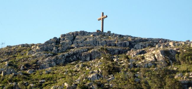
Pan de Azúcar is a city in the southwest of the Maldonado Department in Uruguay. It takes its name from a nearby hill (Cerro Pan de Azúcar, actually located in the neighbouring municipality of Piriápolis), topped by a huge cross.
Contents
- Map of Pan de Azucar Maldonado Department Uruguay
- Location and geography
- History
- Population
- Places of worship
- References
Map of Pan de Azucar, Maldonado Department, Uruguay
Pan de Azúcar is also the name of the municipality to which the city belongs. It includes the zones: Pan de Azúcar, Gerona, Kilómetro 110, Nueva Carrara, Puntas de Pan de Azúcar, Laguna del Sauce, Laguna de los Cisnes.
Location and geography
The city is located on the junction of Route 7 with Route 60, 10 kilometres (6.2 mi) north-northeast of Piriápolis (via Route 37) and about 34 kilometres (21 mi) (via Routa IB) west-northwest from the capital city, Maldonado. The stream Arroyo Pan de Azúcar flows by the southwest limits of the city.
History
It was founded on October 1874 by Félix de Lizarza. Lizarra counted with the help of inhabitants from the city of San Carlos.
Its status was elevated to "Pueblo" (village) by Decree of 20 April 1887, and on 7 September 1961 it was further elevated to "Ciudad" (city) by the Act of Ley N° 12.908.
Population
In 2011 Pan de Azúcar had a population of 6,597. According to the Intendencia Departamnetal de Maldonado, the municipality of Pan de Azúcar has a population of 9,500.
Source: Instituto Nacional de Estadística de Uruguay