
Local time Tuesday 2:10 PM | Elevation 2,000 m | |
 | ||
Weather 23°C, Wind E at 11 km/h, 84% Humidity | ||
Pampagrande (also Pampa Grande), Bolivia (Lat 18:05:50S Long 64:06:58W) lies about 200 kilometers to the West of Santa Cruz de la Sierra in the foothills of the Andes at an altitude of 2000 meters. This tiny community on a river of the same name suffers from financial hardship. The majority of the streets are made of earth, and until recently, there was no plumbing, telephone or electricity in the community. There are a handful of shops and one eating house in the town. Local farmers grow maize and watermelons where conditions allow. There is a splendid, masonry, single arch bridge over the Rio Pampagrande on the outskirts of town.
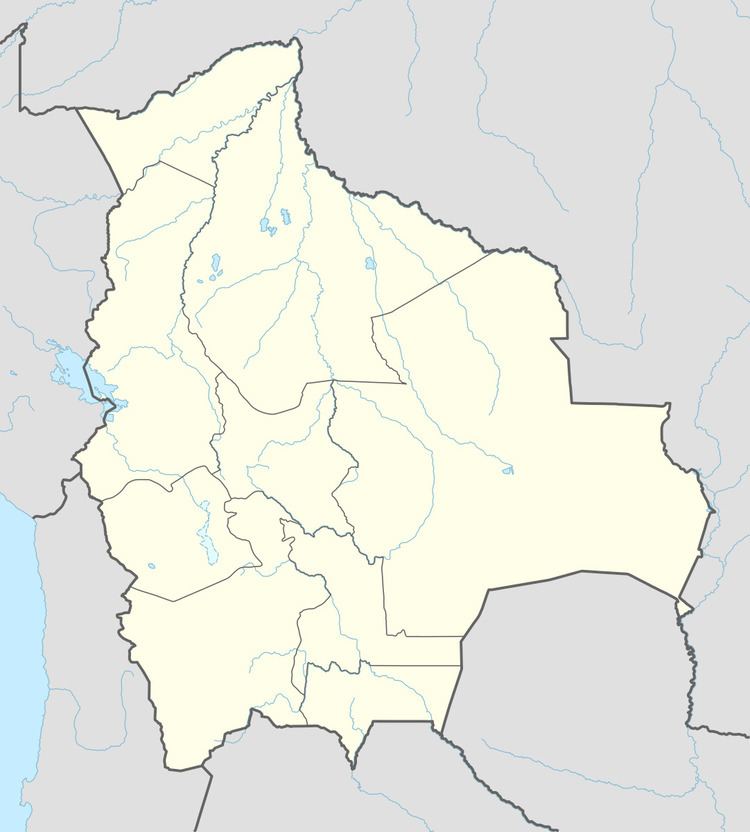
Map of Pampagrande, Bolivia
The surrounding country is termed "Medium Altitude Semi-desert".
Locally famous is Hermano (Brother) Andres Langer a Dominican friar who originates from East Germany but has been resident in Pampagrande for thirty years. In that time he has raised the standard of living of his parishioners, obtaining the bridge, piped water, electricity and telephone for the town. There is still no drainage system, consequently all toilet facilities are of the "pit" variety.
An expert in local ornithology (including the endemic red-fronted macaw), and herpetology and reptiles, he often makes time to show visitors around as part of his travels about his parish. He also runs the only accommodation in town, a simple bunkhouse next to the church.
There are no restaurants in town, just a simple "eating house" not far from the town centre. Shared taxis, locally known as "trufis", as well as coaches run several times daily between Santa Cruz and Pampagrande.