
Topo map USGS Palo Verde Peak Country United States of America | Elevation 285 m | |
 | ||
Similar Big Maria Mountains, Chuckwalla Mountains, Stepladder Mountains, Turtle Mountains, Chemehuevi Mountains | ||
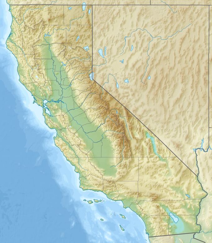
The Palo Verde Mountains are a mountain range in northeastern Imperial County, California.
Map of Palo Verde Mountains, California 92266, USA
The Palo Verde Mountains are located along the west side of the Colorado River in the Lower Colorado River Valley and Colorado Desert.
References
Palo Verde Mountains Wikipedia(Text) CC BY-SA