
Country United States County Saint Louis Time zone Central (CST) (UTC-6) Elevation 427 m | State Minnesota ZIP code 55705 Local time Tuesday 10:16 AM | |
 | ||
Weather -8°C, Wind NW at 19 km/h, 55% Humidity | ||
Palo is an unincorporated community in White Township, Saint Louis County, Minnesota, United States.
Contents
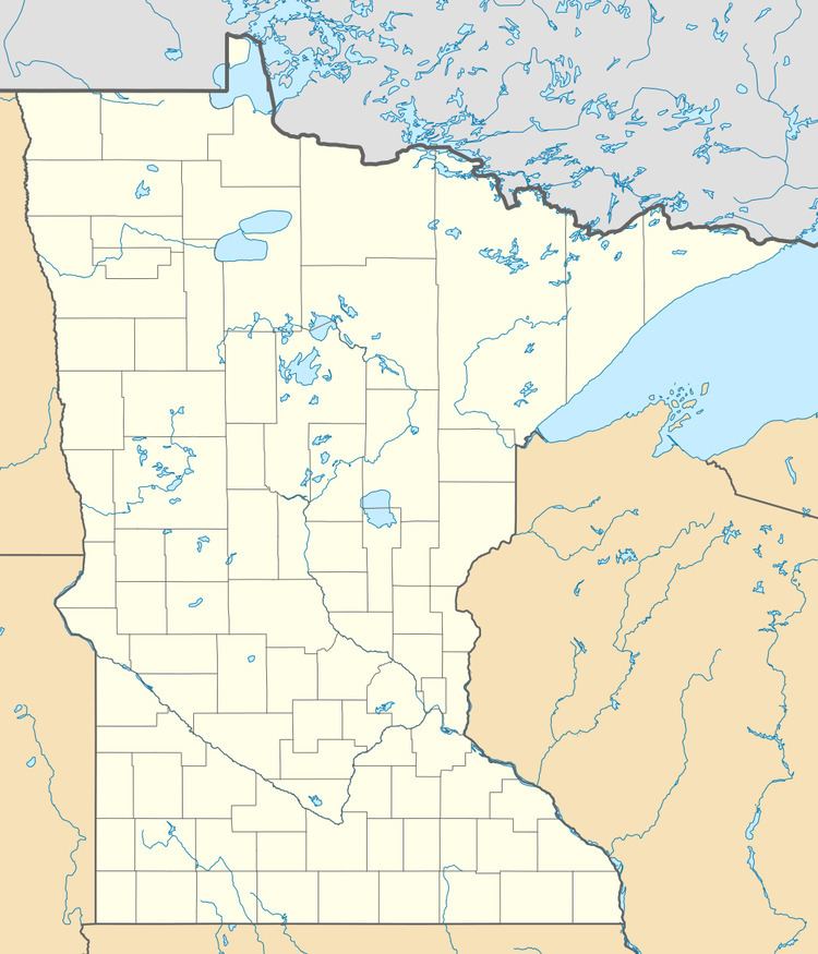
Map of Palo, MN 55705, USA
Geography
The community is located 8 miles south of the city of Aurora at the intersection of Saint Louis County Road 100 and County Road 111 (Palo Road). Vermilion Trail/County Road 4 and County Road 16 are both nearby. Palo is located 9 miles northeast of the community of Makinen.
History
A post office called Palo was established in 1907, and remained in operation until 1933. Palo is a name derived from Finnish meaning "fire".
Arts and culture
Palo is notable for its annual Laskiainen celebration, one of the largest and longest-running Finnish–American festivals in the United States.
References
Palo, Minnesota Wikipedia(Text) CC BY-SA