
Time zone UTC -3 Dial plan +598 453 (+5 digits) Local time Tuesday 10:25 AM | Postal code 75004 Population 456 (2011) | |
 | ||
Weather 22°C, Wind E at 19 km/h, 72% Humidity | ||
Palmar is a village in the Soriano Department of western Uruguay.
Contents
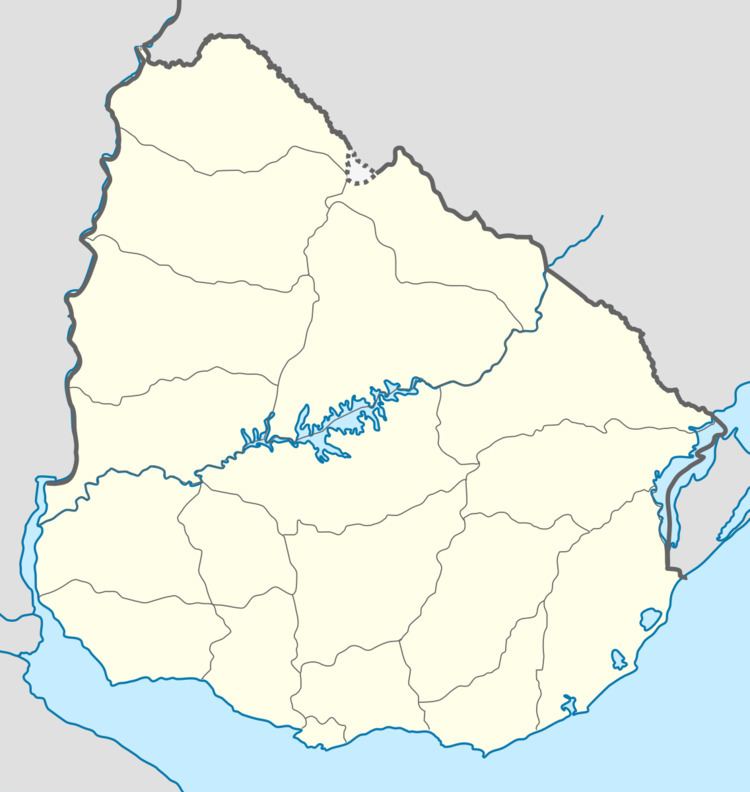
Map of Palmar, Soriano Department, Uruguay
Location
The village is located on Route 55 and the south bank of Río Negro, just south of the Palmar Dam. It lies about 75 kilometres (47 mi) east of Mercedes and at the border with Río Negro Department.
History
On 26 March 1982, the urban conglomeration named "Coronel Lorenzo Latorre", which had been formed in 1973 as a result of the construction of the Palmar Dam, was given the status of "Pueblo" (village) by the Act of Decreto-Ley Nº 15.254. On 28 December 1990, it was renamed "Palmar" by the Act of Ley Nº 16.170.
Population
In 2011 Palmar had a population of 381.
Source: Instituto Nacional de Estadística de Uruguay
References
Palmar, Uruguay Wikipedia(Text) CC BY-SA