
Postcode(s) 2258 State electorate(s) Wyong
Gosford Parish Ourimbah | LGA(s) Central Coast Council Postal code 2258 Federal division Division of Dobell | |
 | ||
Location 14 km (9 mi) SW of Wyong
16 km (10 mi) NNW of Gosford | ||
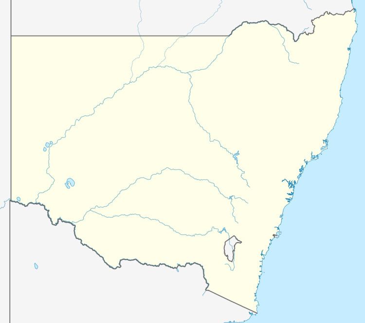
Palm Grove is a suburb of the Central Coast region of New South Wales, Australia. It is located about 10 kilometres (6 mi) upstream along Ourimbah Creek from the town of Ourimbah. It is part of the Central Coast Council local government area.
Map of Palm Grove NSW 2258, Australia
References
Palm Grove, New South Wales Wikipedia(Text) CC BY-SA