
PIN 695316 Local time Tuesday 5:45 PM | Time zone IST (UTC+5:30) Coastline 0 kilometres (0 mi) Government body Gram panchayat | |
 | ||
Weather 29°C, Wind W at 5 km/h, 82% Humidity | ||
Pallippuram is a village in Thiruvananthapuram district, Kerala. It is a suburb of the Thiruvananthapuram UA.
Contents
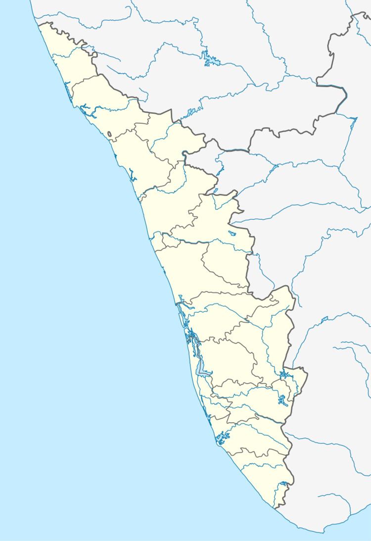
Map of Pallippuram, Kerala
Geography
It is located at 8°36′0″N 76°51′0″E.
Location
Pallippuram is located on National Highway 47, 7 km north of Kazhakkoottam.
Nearest airport is Thiruvananthapuram International Airport and nearest major railway station is Thiruvananthapuram Central. It is well connected to Thiruvananthapuram city by state road transport buses.
The headquarters of the Central Reserve Police Force(CRPF) camp in Kerala is at Pallippuram. Another CRPF camp is in Peringome, Payyannur. The IG of the camp is K.V. Madhusudhanan==.
References
Pallippuram, Thiruvananthapuram Wikipedia(Text) CC BY-SA