 | ||
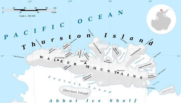
Pallid Crest (72°23′S 96°13′W) is a solitary ice-covered ridge 2 nautical miles (3.7 km) west of the base of Tierney Peninsula in southeast Thurston Island. The feature is visible from a considerable distance and various directions. So named by Advisory Committee on Antarctic Names (US-ACAN) because of its whitish appearance.
Maps
This article incorporates public domain material from the United States Geological Survey document "Pallid Crest" (content from the Geographic Names Information System).
References
Pallid Crest Wikipedia(Text) CC BY-SA
