Time zone WET (UTC+0) Local time Tuesday 11:43 AM | Irish Grid Reference R757440 | |
 | ||
Weather 6°C, Wind SW at 19 km/h, 78% Humidity | ||
Pallasgreen or Pallasgrean (Irish: Pailís Ghréine, meaning "stockade of Grian") is a village in East County Limerick, situated on the Limerick–Tipperary N24 road. The name means "the Stockade of Grian," referring to an ancient Irish Goddess of Love, whose is associated with the a nearby hill of Nicker.
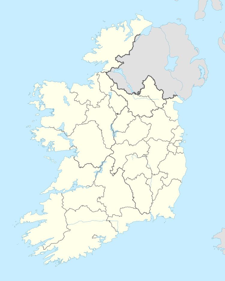
Map of Pallasgreen, Co. Limerick, Ireland
Just a short distance down the road is the related town, Old Pallas, and roughly three miles south of Pallasgreen is Sarsfield's Rock[1], a large rocky outcrop near the church of Templebraden. The Rock looks down on the site where Patrick Sarsfield destroyed the Williamite artillery during the Jacobite-Williamite War. The Rock itself commands fine views of the surrounding hills and open green fields.
The village of Pallasgreen is served by a service station, a butcher, a post office, an insurance broker, four pubs, two mechanics, a Chinese takeaway, a chipper, two hairdressers, and a sit-down takeaway.
The Pallasgreen Gaelic Athletic Association Club play in the colours of blue and gold, identical to the colours of County Tipperary, whose border is just six miles away. The parish of Pallasgreen and Templebraden also has strong connections with this bordering county as it is one of a number of parishes in east County Limerick which form an integral part of the catholic diocese of Cashel and Emly, whose Archbishop has his palace at Thurles, County Tipperary. The parish had originally been part of the ancient diocese of Emly until it joined with Cashel in 1718.
Public Transportation is provided by Bus Éireann [2] and local company, Kelly Travel [3]
