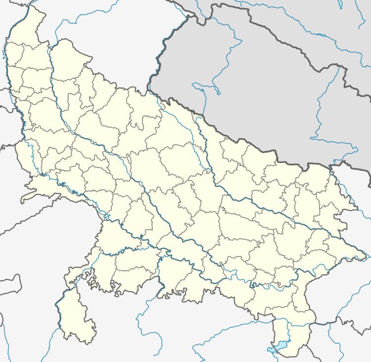
District Lalitpur Elevation 457 m | Time zone IST (UTC+5:30) Population 9,267 (2011) | |
 | ||
Weather 33°C, Wind NW at 6 km/h, 19% Humidity | ||
Pali is a town and a nagar panchayat in Lalitpur district in the Indian state of Uttar Pradesh.
Contents
Geography
Pali is located at 24.48°N 78.42°E / 24.48; 78.42. It has an average elevation of 457 metres (1499 feet). It is having a Jain temple in the heart of the city.
Demographics
As of 2011 India census, Pali has a population of 9,267 divided into 10 wards. Male population is 4,830 and that of female is 4,437. Pali has an average literacy rate of 70.77%, higher than state average of 67.68 %, male literacy is 81.65%, and female literacy is 59.06%. In Pali, 15.75% of the population is under 6 years of age. Out of the total population, 3,856 are engaged in work or business activity with 2,460 are males and rest 1,396 are females.
Schedule Caste (SC) and Schedule Tribe (ST) constitutes 15.95% and 4.79% of the total population in Pali. Based on the census 93.02% of the total population are Hindus, 3.57% are Muslims, 3.32% are Jains and the rest is occupied by Christian, Sikh and Buddhist.
It is also famous because of Devgarh temples. Pali is famous for its deshi pan & Neelkantheshwar temple 3 km away from city on the peak of Vindhyanchal Mountain. old fort of raja saab.
Folk songs of the place are very famous like "Alha" (song about bravery of kings Alha and Udal) derived from Alha-Khand and "Beer Hardol" (song about brother's love.)
