
Area 94.3 km² Population 4,604 (2000) | Elevation 312 m Local time Tuesday 3:53 AM Area code 515 | |
 | ||
ZIP Code 50124, 50244, 50134, 50226, 50242, 50243, 50046, 50010, 50014 Weather 5°C, Wind N at 13 km/h, 62% Humidity | ||
Palestine Township is a township in Story County, Iowa, USA. As of the 2000 census, its population was 4,604.
Contents
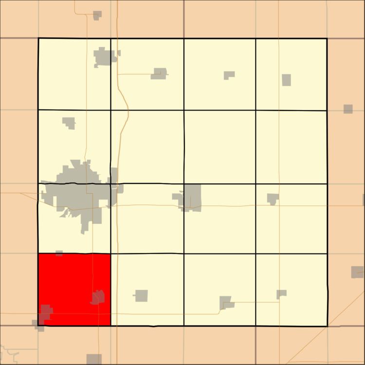
Map of Palestine, IA, USA
Geography
Palestine Township covers an area of 36.4 square miles (94 km2) and contains the incorporated towns of Huxley, Slater, Sheldahl and Kelley. According to the USGS, it contains six cemeteries: Lincoln Cemetery, Bethany Cemetery, Slater Cemetery, Sheldahl Lutheran Cemetery, Fjeldberg Cemetery and Palestine Cemetery
U.S. Route 69 runs north-south through the township and Iowa Hwy 210 runs east-west.
References
Palestine Township, Story County, Iowa Wikipedia(Text) CC BY-SA