
Population 219 (2011 census) State electorate(s) Beaudesert Postal code 4287 Lga Scenic Rim Region | Postcode(s) 4287 Palen Creek Running Creek Federal division Division of Wright | |
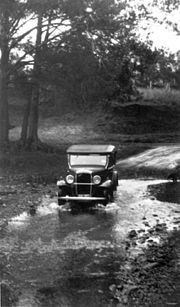 | ||
Palen Creek is a locality along the southern Queensland border in the Scenic Rim Region, Queensland, Australia. At the 2011 census Palen Creek and surrounds recorded a population of 219.
Contents
Map of Palen Creek QLD 4287, Australia
The terrain is rugged with many sloped sections heavily vegetated. Lower elevations start at around 90 metres above sea level while in the south the McPherson Range climbs above 600 metres. In the southeast lies multiple sections of Palen State Forest and part of Mount Barney National Park. On the slopes of Mount Giles in the west is another forest reserve. Between the two, the Mount Lindesay Highway winds along the valley floor.
The Palen Creek Correctional Centre is located on the highway in the south west. The facility can hold up to 170 low security prisoners in a campus style rural environment.
Heritage listings
Palen Creek has the following heritage-listed sites: