Country United States County Cook GNIS feature ID 0429520 Area 93.34 km² University Harper College | State Illinois Time zone CST (UTC-6) Elevation 228 m Local time Monday 11:35 PM | |
 | ||
ZIP codes 60004, 60005, 60008, 60010, 60067, 60074, 60173, 60195 Weather 5°C, Wind N at 8 km/h, 73% Humidity | ||
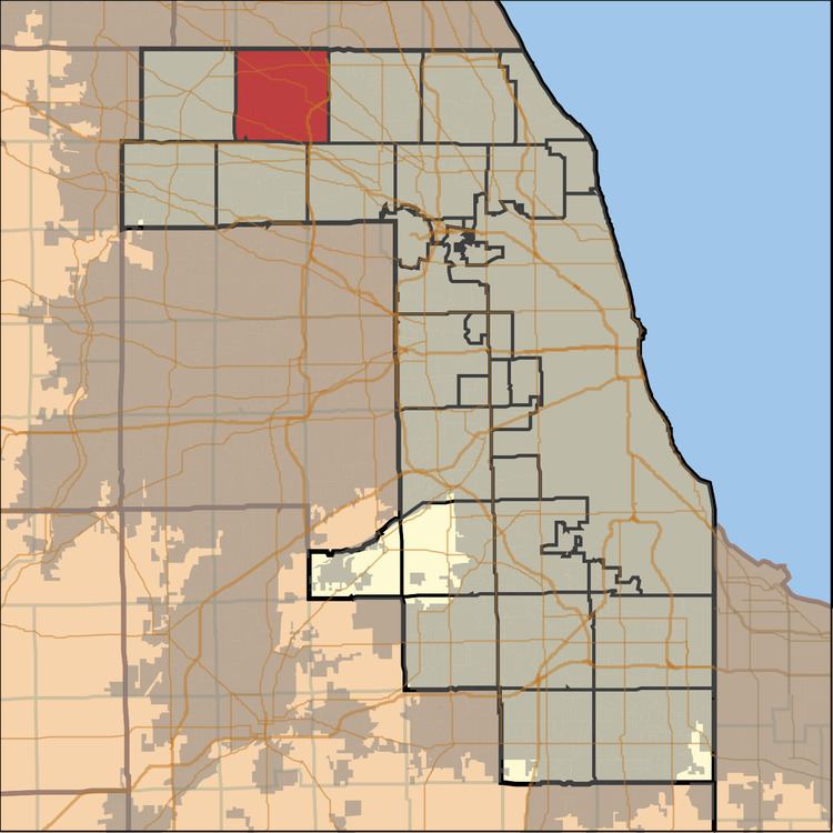
Palatine Township is one of 29 townships in Cook County, Illinois, USA. As of the 2010 census, its population was 112,994. It is the north central township of the six northwest townships that form the Cook County panhandle. Palatine Township was organized in 1850.
Contents
- Map of Palatine Township IL USA
- Geography
- Cities towns villages
- Adjacent townships
- Cemeteries
- Major highways
- Lakes
- Landmarks
- Government
- Political districts
- References
Map of Palatine Township, IL, USA
Geography
According to the United States Census Bureau, Palatine Township covers an area of 36.04 square miles (93.3 km2); of this, 35.69 square miles (92.4 km2) (99.04 percent) is land and 0.35 square miles (0.91 km2) (0.96 percent) is water.
Cities, towns, villages
Adjacent townships
Cemeteries
The township contains these cemeteries: Cady, Circle of Life, Deer Grove, German, Hillside, Immanuel Lutheran, Mount Hope, Saint Michael, Salem, Sutherland and Wolfum. Of these, the Township owns Cady, Hillside, Salem, Sutherland and Wolfum.
Major highways
Lakes
Landmarks
Government
Supervisor - Sharon Langlotz-Johnson
Town Clerk - Lisa Moran
Assessor - Terry Kelly
Highway Commissioner - Aaron Del Mar
Trustee - Art Goes
Trustee - William G. Huley
Trustee - Susan Kern
Trustee - Bill Pohlman
