
Country India District Prakasam PIN 523101 Local time Tuesday 3:01 AM | State Andhra Pradesh Time zone IST (UTC+5:30) ISO 3166 code IN-AP | |
 | ||
Weather 27°C, Wind S at 0 km/h, 88% Humidity | ||
Pakala is a village in Prakasam district of the Indian state of Andhra Pradesh. It is located in Singarayakonda mandal.
Contents
Map of Pakala, Andhra Pradesh 523101
Geography
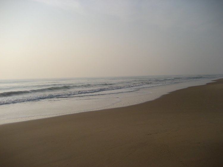
Pakala is located on the shore of the Bay of Bengal, 5 km east of Singarayakonda and 3 km north of Ullapalem, with sea on the east. It is located at coordinates 15°16' N and 80°04' E at elevation starting at one foot near Pallepalem and about 25 ft (7.6 m) on the west side of village.
Demographics
As of 2011 India census, Pakala had a population of 26,500 Males: 14,000. Females: 12,500.
References
Pakala, Prakasam Wikipedia(Text) CC BY-SA