
Country India District Chittoor Time zone IST (UTC+5:30) Local time Tuesday 3:01 AM | State Andhra Pradesh Mandal Pakala Elevation 361 m | |
 | ||
Weather 26°C, Wind SE at 2 km/h, 89% Humidity | ||
Pakala is a major town in Chittoor district of the Indian state of Andhra Pradesh. It is the mandal headquarters of Pakala mandal.
Contents
Map of Pakala, Andhra Pradesh 517112
It comes under the political constituency of Chandragiri.
Mandal population
Village population
Population (2001)
Geography
Pakala is located at 13.4667°N 79.1167°E / 13.4667; 79.1167. It has an average elevation of 361 meters (1295 feet).
Transport
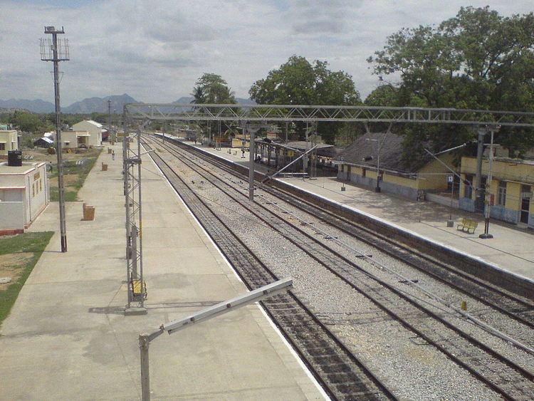
Pakala is well connected with Tirupati and Chittoor by Road as well as Railways. The nearest airport is Tirupati Airport. The village is served by Pakala Junction railway station.
References
Pakala, Chittoor district Wikipedia(Text) CC BY-SA