
 | ||
Similar Nedánov, Nosperk, Pouzdřanská step‑Kolby, Šévy, Děvín in Moravia | ||
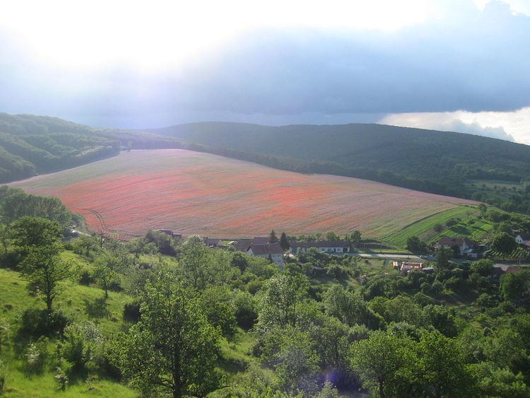
Přední kout is a small hill in the South Moravia, Czech Republic. With an altitude of 410 m it is the highest elevation in the hilly landscape around Hustopeče. It is located half way between the villages of Diváky and Kurdějov and its exact geographic coordinates are 48°58′15″N 16°46′47″E. There is a station of Global Automated System for Frequency Spectrum Monitoring (GASFSM) near its top.
Map of P%C5%99edn%C3%AD kout, 691 71 Div%C3%A1ky, Czechia
References
Přední kout Wikipedia(Text) CC BY-SA