
District Český Krumlov Website www.prednivyton.cz Area 77.83 km² | Postal code 382 79 Elevation 755 m | |
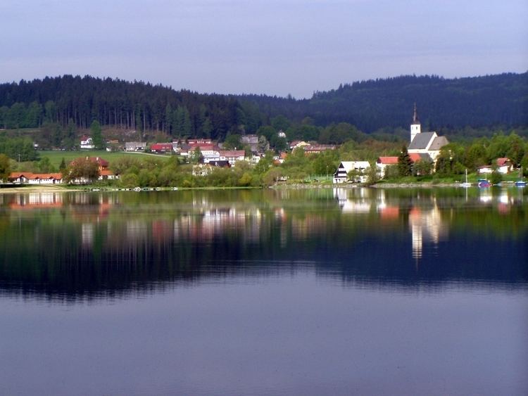 | ||
Přední Výtoň is a village and municipality (obec) in Český Krumlov District in the South Bohemian Region of the Czech Republic.
Map of 382 73 P%C5%99edn%C3%AD V%C3%BDto%C5%88, Czechia
The municipality covers an area of 77.83 square kilometres (30.05 sq mi), and has a population of 200 (as at 28 August 2006).
Přední Výtoň lies approximately 25 kilometres (16 mi) south-west of Český Krumlov, 46 km (29 mi) south-west of České Budějovice, and 163 km (101 mi) south of Prague.
References
Přední Výtoň Wikipedia(Text) CC BY-SA