
District Kroměříž Area 3.17 km² | Postal code 769 01 Elevation 297 m | |
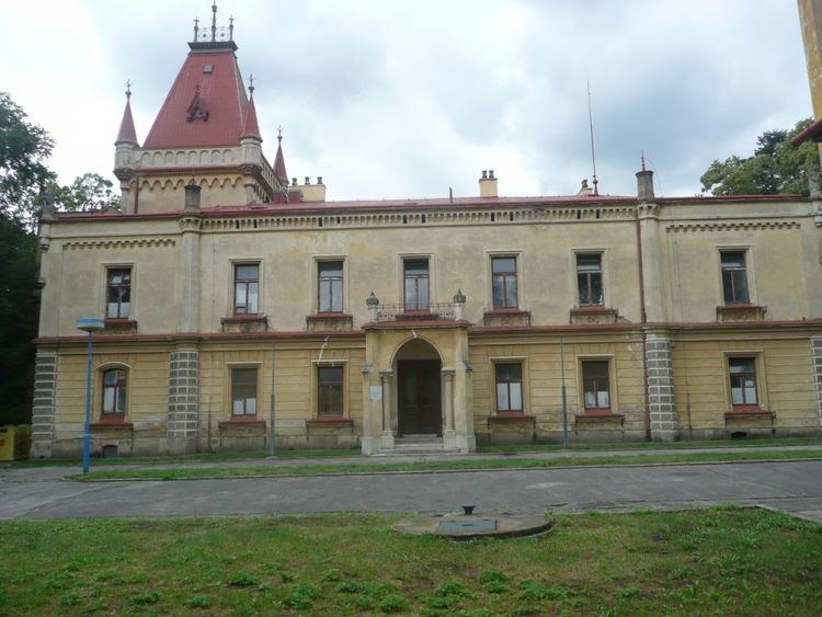 | ||
Přílepy ( [ˈpr̝̊iːlɛpɪ]) is a village and municipality (obec) in Kroměříž District in the Zlín Region of the Czech Republic.
Map of 769 01 P%C5%99%C3%ADlepy, Czechia
The municipality covers an area of 3.17 square kilometres (1.22 sq mi), and has a population of 876 (as at 28 August 2006).
Přílepy lies approximately 17 kilometres (11 mi) east of Kroměříž, 11 km (7 mi) north of Zlín, and 246 km (153 mi) east of Prague.
References
Přílepy (Kroměříž District) Wikipedia(Text) CC BY-SA