
District Třebíč Area 14.41 km² | Postal code 675 51 Elevation 413 m | |
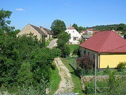 | ||
Příštpo is a village and municipality (obec) in Třebíč District in the Vysočina Region of the Czech Republic.
Map of 675 51 P%C5%99%C3%AD%C5%A1tpo, Czechia
The municipality covers an area of 14.41 square kilometres (5.56 sq mi), and has a population of 273 (as at 2005).
Příštpo lies approximately 17 kilometres (11 mi) south of Třebíč, 44 km (27 mi) south-east of Jihlava, and 157 km (98 mi) south-east of Prague.
References
Příštpo Wikipedia(Text) CC BY-SA