
Time zone CET (UTC+0) Population 19,679 (2014) Postal code 35628 | Elevation(AMSL) 196 m (643 ft) Local time Sunday 10:43 PM | |
 | ||
Weather 17°C, Wind N at 21 km/h, 81% Humidity | ||
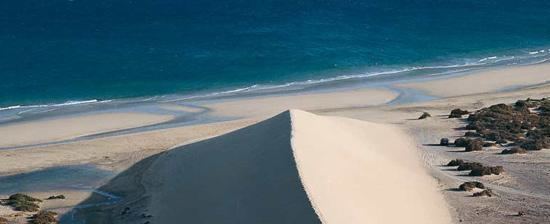
Pájara is a town and a municipality in the southwestern portion of the island of Fuerteventura in the Province of Las Palmas in the Canary Islands. Its population is 20,931 (2013), and the area is 383.52 km². Pájara is both the southernmost and the westernmost municipality on the island. Pájara is also the largest municipality on the island. The largest towns in the municipality of Pájara are Morro Jable and Costa Calma, both situated on the coast. The small port Ajuy is situated in the north of the municipality, near Betancuria. The Jandía peninsula is part of the municipality.
Map of 35628 P%C3%A1jara, Las Palmas, Spain
The church of Nuestra Señora de Regla in Pájara town has interesting sculptures of sun pattern, snakes, panther and birds above the main entrance. It is thought by some specialists to show Aztec influence.