
Area 2,357 km² Population 23,190 (2005) | Demonym Ozuluamense Elevation 150 m Capital Ozuluama | |
 | ||
Ozuluama de Mascareñas Municipality is one of the 212 municipalities of the Mexican state of Veracruz. It is located in the state's Huasteca Alta region. The municipal seat is the village of Ozuluama de Mascareñas, Veracruz.
Contents
Map of Ozuluama de Mascare%C3%B1as, Ver., Mexico
In the 2005 INEGI Census, Ozuluama Municipality reported a total population of 23,190, of whom 3,439 lived in the municipal seat. Of the municipality's inhabitants, 284 spoke an indigenous language, primarily Nahuatl.
The municipality of Ozuluama de Mascareñas covers a total surface area of 2,357.39 km².
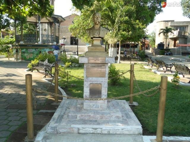
The name "Ozuluama" is Nahuatl in origin. The epithet "de Mascareñas" (awarded 20 August 1980) honours Colonel Francisco Esteban Mascareñas, who was born here and fought on the Liberal side in the Reform War.
Settlements in the municipality
References
Ozuluama de Mascareñas (municipality) Wikipedia(Text) CC BY-SA