
Population 305 (2011) Sovereign state United Kingdom Local time Tuesday 11:28 PM Post town Shipston-on-Stour | OS grid reference SP3145 Postcode district CV36 | |
 | ||
Weather 10°C, Wind S at 19 km/h, 92% Humidity | ||
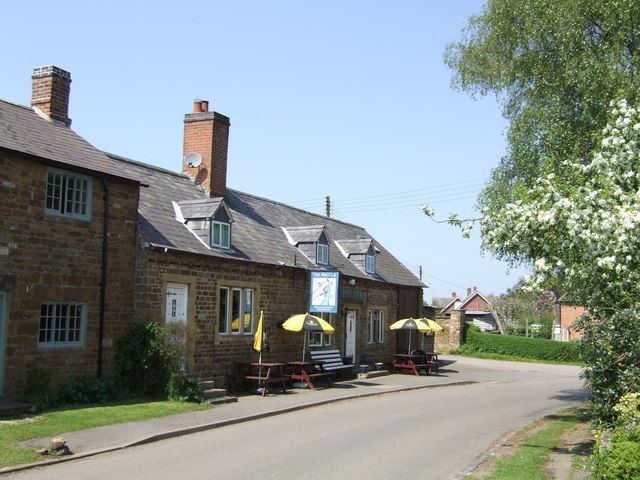
Oxhill is a village in South Warwickshire, England, off the A422 road between Stratford-upon-Avon and Banbury. The population taken at the 2011 census was 305. It lies in the administrative district of Stratford-on-Avon in the area known as the Vale of the Red Horse. The village is mentioned in the Domesday Book as "Octeselve" and has a 12th-century church dedicated to Saint Lawrence.
Map of Oxhill, Warwick, UK
The indentions in the chancel window mullions are believed by many to be the marks made by local archers sharpening their arrowheads. Because of the holiness and sacredness of the church, the blessed arrows were also presumed to have divine accuracy.
In the graveyard of St Lawrence there is what is believed to be the only slave's grave in Warwickshire, that of a negro slave called Myrtilla.