
Quadrant NW Sector North Elevation 685 m Population 3,399 (2012) | Ward 2 Area 118 ha | |
 | ||
Just listed 133 16035 132 street oxford edmonton selling for 235 900
Oxford is a residential neighbourhood in the Palisades area of north west Edmonton, Alberta, Canada.
Contents
- Just listed 133 16035 132 street oxford edmonton selling for 235 900
- Map of Oxford Edmonton AB Canada
- Legacy park homes in oxford edmonton
- Demographics
- References
Map of Oxford, Edmonton, AB, Canada
According to the 2001 federal census, residential development of the neighbourhood began in the second half of the 1980s and continued through the 1990s. Nine out of ten (90%) of residences in the neighbourhood, according to the 2005 municipal census, are single-family dwellings. The remaining one out of ten (10%) are duplexes. Almost one in ten (88%) residences are owner-occupied while the remaining one in ten (12%) are rented.
The neighbourhood is bounded on the south by 153 Avenue, on the north by 167 Avenue, and on the east by 127 Street. The western boundary is half a block west of 132 Street.
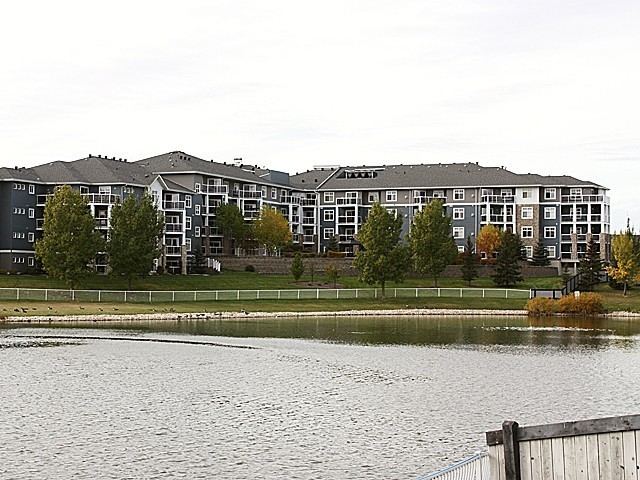
Legacy park homes in oxford edmonton
Demographics
In the City of Edmonton's 2012 municipal census, Oxford had a population of 7003339900000000000♠3,399 living in 7003117600000000000♠1,176 dwellings, a 1.5% change from its 2009 population of 7003334800000000000♠3,348. With a land area of 1.18 km2 (0.46 sq mi), it had a population density of 7003288050000000000♠2,880.5 people/km2 in 2012.