
Local time Tuesday 12:20 PM | Elevation 1,127 m | |
 | ||
Weather 16°C, Wind N at 31 km/h, 21% Humidity | ||
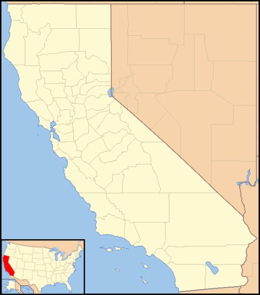
Owenyo (formerly, New Owenyo) was an unincorporated community in Inyo County, California. It was located on the Southern Pacific Railroad 5 miles (8 km) north of Lone Pine, at an elevation of 3697 feet (1127 m). The town was abandoned in the 1960s, and all that remain now are a few traces of building foundations. There are no standing structures and no inhabitants in or anywhere near Owenyo, which remains on 21st century maps only as a reference point along the bleak, unkept and itself abandoned Owenyo-Lone Pine Road which runs about two miles east of, and running parallel with, Federal Highway 395.
Map of Owenyo, CA 93545, USA
Owenyo's original townsite was half a mile (0.8 km) to the southeast on the Carson and Colorado Railroad. The town, whose name is a portmanteau of Owens and Inyo, was originally started by Quaker colonists in 1900. They sold out in 1905, when the Carson and Colorado Railroad arrived, establishing the town as a transfer point for freight to be carried by the narrow-gauge railway which began there, serving points southward. A post office operated at Owenyo from 1902 to 1905 and from 1916 to 1941. The town moved to its present location in 1910, and for a while was known as New Owenyo on that account.