
Population 710 (2001 Census) Sovereign state United Kingdom | OS grid reference SE085179 Local time Tuesday 10:49 AM Dialling code 01422 | |
 | ||
Weather 6°C, Wind SE at 10 km/h, 98% Humidity | ||
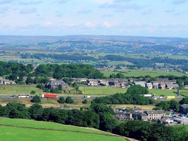
Outlane is a village near Huddersfield, in Kirklees, West Yorkshire, England with a population of 710 according to the 2001 census. Historically part of the West Riding of Yorkshire, it is situated 3.7 miles (6.0 km) north-west of Huddersfield town centre
Map of Outlane, Huddersfield, UK
The village is situated next to the M62 motorway near junction 23 close to the Calderdale and Kirklees district boundary. The A640 New Hey Road passes through the village.
Outlane Cricket Club objected to the building of the motorway in the 1960s as it would go through their ground. However the Ministry of Transport turned it down. Outlane has a golf course that borders the motorway.
Slack Lane is the location of Slack Roman fort, whose Roman name was possibly Cambodunum.
References
Outlane Wikipedia(Text) CC BY-SA