
Elevation 0 m (0 ft) Time zone CET (UTC+1) Area 28.53 km² | Established 1 January 1985 Demonym(s) Ouderkerker Postcode 2830–2831, 2935 Local time Tuesday 4:09 AM | |
 | ||
Weather 6°C, Wind E at 5 km/h, 79% Humidity | ||
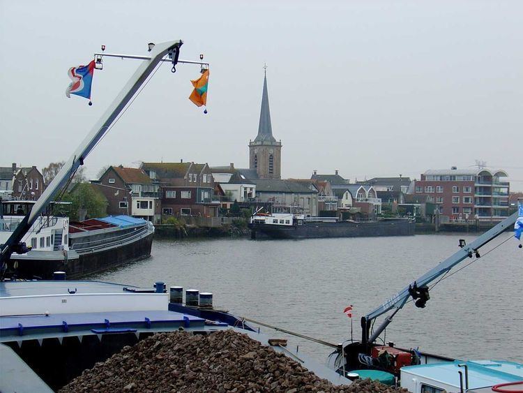
Ouderkerk (population: 8,200 in 2014) is a former municipality in the western Netherlands, in the province of South Holland. Since 2015 it has been a part of the municipality of Krimpenerwaard.
Map of Ouderkerk, Netherlands
The former municipality covered an area of 28.57 km2 (11.03 sq mi) of which 1.50 km2 (0.58 sq mi) was water. It was formed on 1 January 1985, after a municipal reorganization.
The former municipality of Ouderkerk consisted of the population centres Gouderak, Lageweg, Ouderkerk aan den IJssel, and IJssellaan, all situated along the Hollandse IJssel river.
Dutch Topographic map of the former municipality of Ouderkerk, 2013.
References
Ouderkerk Wikipedia(Text) CC BY-SA