Official name Oudebaaskraal Dam Opening date 1969 Height 21 m Length 1,200 m Total capacity 34 million m³ | Type of dam Earth fill dam Opened 1969 Catchment area 8 km² | |
 | ||
Owner Department of Water and Sanitation Similar Roggeveld Mountains, Floriskraal Dam, Gamkapoort Dam, Clanwilliam Dam, Ke‑Ditselana Tourism and Multi | ||
Oudebaaskraal Dam is an earth-fill type dam located on the Tankwa River near Ceres, Western Cape, South Africa. It was established in 1969 and serves mainly for irrigation purposes. The hazard potential of the dam has been ranked significant (2).
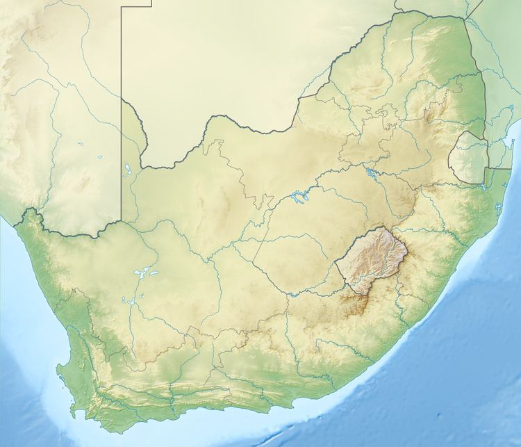
Map of Oudebaaskraal Dam, Breede River DC, South Africa
Oudebaaskraal Dam is next to Wadrif and is located in Cape Winelands District Municipality, Western Cape, South Africa. Oudebaaskraal Dam has a length of 14.34 kilometres.
A game drive in the stony desert area around the Oudebaaskraal Dam is probably the best chance of spotting some of the animals that have been reintroduced into the Tankwa Karoo National Park, like gemsbok, springbok, hartebeest and Cape mountain zebra. Perhaps even a bat-eared fox and a tortoise or two.
References
Oudebaaskraal Dam Wikipedia(Text) CC BY-SA
