
Location Hordaland, Norway Width 880 m (2,890 ft) County Hordaland Area 45 ha | Length 975 m (3,199 ft) Highest elevation 27 m (89 ft) Elevation 27 m Municipality Bømlo | |
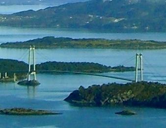 | ||
Otterøya or Otrøyna is an unpopulated island in Bømlo municipality in Hordaland county, Norway. The 0.45-square-kilometre (110-acre) island lies in the Bømlafjorden, southeast of the islands of Føyno, Nautøya, and Spyssøya. The southern part of the island is a nature reserve. The Bømlafjord Tunnel runs underneath the island.
Map of Otter%C3%B8ya, 5440 Mosterhamn, Norway
References
Otterøya (Hordaland) Wikipedia(Text) CC BY-SA