
Country United States FIPS code 39-58982 Elevation 142 m Zip code 45875 Local time Monday 6:46 PM | Time zone EST (UTC-6) GNIS feature ID 1070881 Area 12.35 km² Population 4,404 (2013) Area code 419 | |
 | ||
Weather 16°C, Wind W at 5 km/h, 70% Humidity | ||
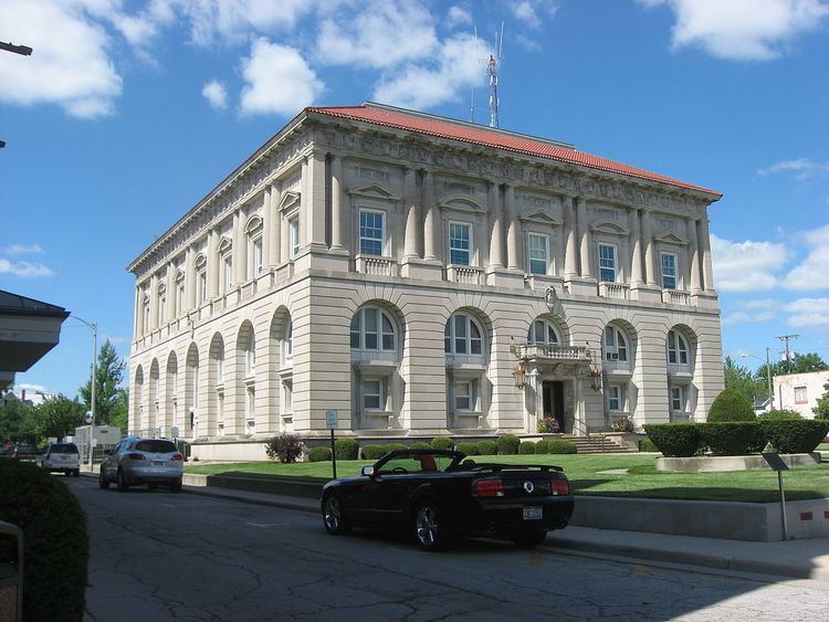
Ottawa is a village in and the county seat of Putnam County, Ohio, United States. The population was 4,460 at the 2010 census.
Contents
- Map of Ottawa OH 45875 USA
- History
- Geography
- Demographics
- 2010 census
- 2000 census
- Notable people
- Media
- References
Map of Ottawa, OH 45875, USA
History
The region was originally inhabited by the Wyandot tribe and by the Ottawa tribe. In 1817, a large tract of land in Northwestern Ohio was ceded to the United States, and Blanchard's Fork Reserve was established, until the Reserve was ceded and extinguished in 1831, and Ottawa population on that Reserve removed to Kansas in 1832. Within the Reserve, two Ottawa villages existed, of which the Lower Tawa Town became the Village of Ottawa, Ohio.
In 1792 Major Alexander Truman, his servant William Lynch and guide/interpreter William Smalley were sent by George Washington on a peace mission. Truman and Lynch were killed; Truman was apparently killed prior to April 20, 1792 at what later became Ottawa, Putnam County Ohio. A similar mission under Colonel John Hardin also ended in Hardin and his servant Freeman being murdered in Shelby County.
Among the early settlers of the Ottawa area was Henry Kohls, who arrived in 1835 and settled with his family in the village of Glandorf. In the early 1900s, his grandsons, Charles and Frank, were each elected Putnam County treasurer in successive two year stints. Notably, while serving as treasurer they each appointed the other as their chief deputy.
Ottawa was incorporated as a village in 1861.
Geography
Ottawa is located at 41°1′15″N 84°2′29″W (41.020885, -84.041314).
According to the United States Census Bureau, the village has a total area of 4.77 square miles (12.35 km2), of which 4.70 square miles (12.17 km2) is land and 0.07 square miles (0.18 km2) is water.
Demographics
95.3% spoke English, 4.2% Spanish, and 0.5% German as their first language.
2010 census
As of the census of 2010, there were 4,460 people, 1,829 households, and 1,207 families residing in the village. The population density was 948.9 inhabitants per square mile (366.4/km2). There were 1,983 housing units at an average density of 421.9 per square mile (162.9/km2). The racial makeup of the village was 92.5% White, 0.8% African American, 0.4% Native American, 0.3% Asian, 4.8% from other races, and 1.2% from two or more races. Hispanic or Latino of any race were 10.3% of the population.
There were 1,829 households of which 32.4% had children under the age of 18 living with them, 50.1% were married couples living together, 11.7% had a female householder with no husband present, 4.2% had a male householder with no wife present, and 34.0% were non-families. 30.3% of all households were made up of individuals and 13.8% had someone living alone who was 65 years of age or older. The average household size was 2.41 and the average family size was 2.98.
The median age in the village was 38.8 years. 26.1% of residents were under the age of 18; 8.2% were between the ages of 18 and 24; 22.8% were from 25 to 44; 27.5% were from 45 to 64; and 15.4% were 65 years of age or older. The gender makeup of the village was 48.5% male and 51.5% female.
2000 census
As of the census of 2000, there were 4,367 people, 1,759 households, and 1,157 families residing in the village. The population density was 1,126.6 people per square mile (434.6/km2). There were 1,849 housing units at an average density of 477.0 per square mile (184.0/km2). The racial makeup of the village was 94.34% White, 0.27% African American, 0.09% Native American, 0.44% Asian, 3.73% from other races, and 1.12% from two or more races. Hispanic or Latino of any race were 7.35% of the population.
There were 1,759 households out of which 32.0% had children under the age of 18 living with them, 51.7% were married couples living together, 10.3% had a female householder with no husband present, and 34.2% were non-families. 30.4% of all households were made up of individuals and 12.8% had someone living alone who was 65 years of age or older. The average household size was 2.45 and the average family size was 3.08.
In the village, the population was spread out with 26.8% under the age of 18, 8.0% from 18 to 24, 28.0% from 25 to 44, 22.9% from 45 to 64, and 14.4% who were 65 years of age or older. The median age was 37 years. For every 100 females there were 95.8 males. For every 100 females age 18 and over, there were 90.7 males.
The median income for a household in the village was $39,034, and the median income for a family was $50,810. Males had a median income of $35,174 versus $25,456 for females. The per capita income for the village was $22,476. About 2.8% of families and 5.3% of the population were below the poverty line, including 3.4% of those under age 18 and 9.8% of those age 65 or over.