Supriya Ghosh (Editor)

Otowa, Aichi

Updated on
Edit
Like
Comment
Share on FacebookTweet on TwitterShare on LinkedInShare on Reddit
Country
  
Japan

Website
  
City of Toyokawa

Local time
  
Tuesday 6:30 AM

District
  
Hoi District, Aichi

Prefecture
  
Aichi Prefecture

Area
  
29.65 km²

Population
  
8,870 (1 Nov 2007)

Otowa, Aichi

Merged
  
January 15, 2008 (now part of Toyokawa)

Time zone
  
Japan Standard Time (UTC+9)

Weather
  
5°C, Wind NW at 21 km/h, 70% Humidity

Region
  
Chūbu region (Tōkai region)

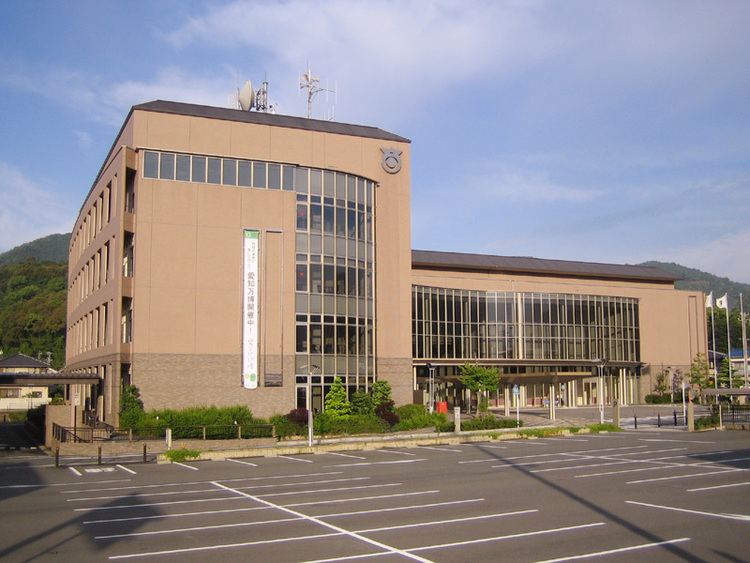
Otowa (音羽町, Otowa-chō) was a town located in Hoi District, Aichi Prefecture, Japan.

Contents

On January 15, 2008, Otowa, along with the town of Mito (also from Hoi District), was merged into the expanded city of Toyokawa.

As of November 1, 2007 (the last census data prior to the merger), the town had an estimated population of 8,870 and a population density of 299.15 persons per km². The total area was 29.65 km².

Geography

  • Principal mountains: Kyōgamine (京ヶ峰), Mt. Miyaji (宮路山), Shiro-yama (城山), Mt. Kan'non (観音山)
  • Principal rivers: Otowa River (音羽川), Yamakage River (山陰川)
  • History

  • June 23, 1894 - Akasaka Village changed over to Akasaka Town (赤坂町).
  • April 1, 1955 - Otowa was founded by the unification of Akasaka Town, Nagasawa Village (長沢村) and Hagi Village (萩村).
  • 1981 - Otowa Town Office was moved. Symbol of Otowa was established.
  • 1986 - Tōmei Expressway Otowa-Gamagori Interchange opened.
  • 1987 - The rezoning of Akasaka was carried. ( - 1993)
  • 1992 - Otowa Town Field Park (音羽町運動公園) was completed.
  • 1999 - Otowa Town Office was moved. New office and Cultural Hall ("Windia Hall") was completed.
  • 2000 - Otowa Town Library and Akasaka Community Center was completed.
  • 2002 - Akasaka Rest House (赤坂休憩所), commonly called "Yoramaikan (よらまいかん)" was completed.
  • 2005 - Ceremony to celebrate the 50th anniversary of the founding Otowa Town was held.
  • January 15, 2008 - Otowa Town, along with Mito Town (also from Hoi District), was merged into the expanded Toyokawa City.
  • Economy

  • Tokai Rika Otowa Factory
  • Primary schools

  • Akasaka Primary School
  • Nagasawa Primary School
  • Hagi Primary School
  • Junior High school

  • Otowa Junior High School
  • Ceremony Hall

  • Otowa Town Cultural Hall ("Windia Hall")
  • Community centers

  • Akasaka Community Center
  • Nagasawa Community Center
  • Hagi Community Center
  • Akasakadai Community Center
  • Library

  • Otowa Town Library
  • Athletic institution

  • Otowa Town Field Park
  • Railway

  • Meitetsu Nagoya Main Line - Meiden-Akasaka Station, Meiden-Nagasawa Station
  • Expressway

  • Interchange - Tōmei Expressway Otowa-Gamagori Interchange
  • Toll road

  • Toll road - Otowa-Gamagori Toll Road, commonly called "Mikawa Bay Orange Road (三河湾オレンジロード)"
  • National highway

  • National highway - Route 1
  • Bus

  • Tōmei Highway Bus: Otowa Bus Stop
  • Otowa Town Community Bus
  • Local attractions

  • Akasaka-juku (赤坂宿) - The thirty-sixth of the fifty-three stations of the Tōkaidō.
  • Mt. Miyaji (宮路山 Miyaji-san) - It is said that Empress Jitō visited this mountain. In the autumn, maple leaves turn red.
  • Ruins of the Nagasawa Castle (長沢城址) - Today, The Nagasawa Primary School and the residential area of Kojō (古城団地 Kojō Danchi) is located in this site. The word "Kojō" means "old castle".
  • Ceremony to pray for rain (雨乞い祭り amagoi matsuri) - A ceremony held in every August.
  • Ceremony of the Sugimori Hachimansha (杉森八幡社祭礼) - A ceremony held in every October. In this ceremony, the daimyo's procession is reappeared.
  • References

    Otowa, Aichi Wikipedia