
Elevation 309 m Local time Monday 7:26 PM | Postal code 696 31 Area 163 ha Population 234 (2009) | |
 | ||
Weather 13°C, Wind W at 3 km/h, 27% Humidity | ||
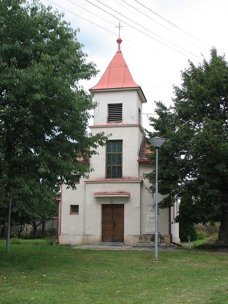
Ostrovánky is a village and municipality (obec) in Hodonín District in the South Moravian Region of the Czech Republic.
Map of 696 31 Ostrov%C3%A1nky, Czechia
The municipality covers an area of 1.63 square kilometres (0.63 sq mi), and has a population of 234 (as of 1 May 2009).
Ostrovánky lies approximately 22 kilometres (14 mi) north of Hodonín, 39 km (24 mi) south-east of Brno, and 225 km (140 mi) south-east of Prague.
References
Ostrovánky Wikipedia(Text) CC BY-SA