
Length 153 km | Basin size 1,711 km (661 sq mi) | |
 | ||
Main source Lower Saxony31 m (102 ft) | ||
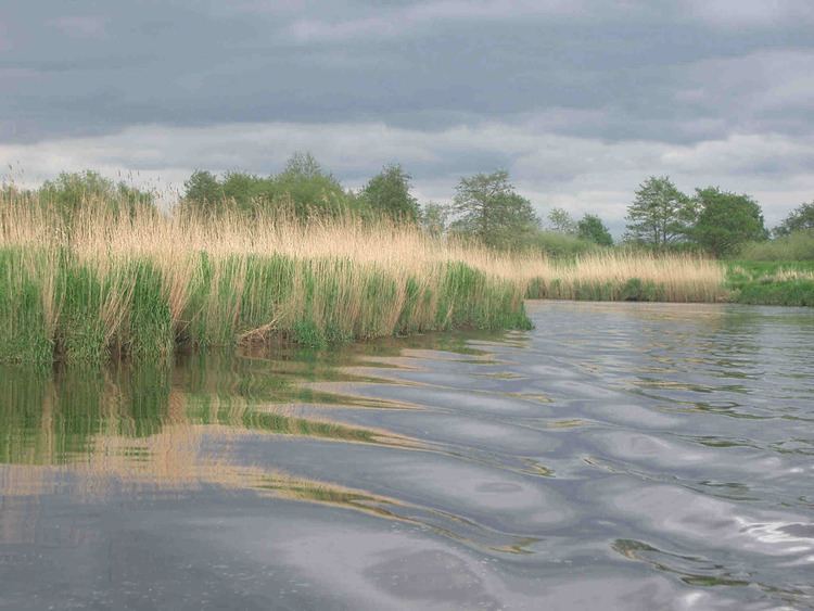
The Oste ( [ˈʔoːstə], also [ˈɔstə]) is a river in northern Lower Saxony, Germany with a length of 153 km, left tributary of the Elbe. It flows through the districts of Harburg, Rotenburg, Stade and Cuxhaven and empties into the Elbe river near Otterndorf. Its drainage area is 1.711 km² and the decline between the source and the estuary is 31 m. Tributaries are Ramme, Aue, Twiste, Bade, Bever and Mehe.
Map of Oste, Germany
The Oste is part of the "Deutsche Fährstraße" established in May 2004, an institution similar to the American National Scenic Byways. It connects various places between Bremervörde and Kiel with relation to the history of ferries and crossing of rivers, like the historic transporter bridges in Rendsburg and Osten. Also at the Oste there are two pram ferries in Gräpel and Brobergen. The ferry in Gräpel is actually manually operated.
Although recognized as an official waterway the Oste has not much ship traffic.
The river has its source near Tostedt at the border of the Lüneburg Heath, flowing to the west passing Sittensen and Zeven, changing direction to north and passing Bremervörde, where influence of the tides is starting, Hemmoor and Neuhaus.