
Elevation 12 m (39 ft) Dialing code 0429 Local time Monday 4:58 PM Dialling code 0429 | Time zone CET (UTC+1) Area 21.4 km² Postal code 35045 | |
 | ||
Frazioni Tresto, Palugana, Santa Croce, Dossi Weather 18°C, Wind E at 6 km/h, 25% Humidity | ||
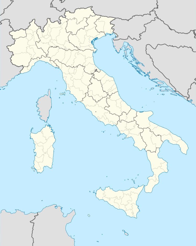
Ospedaletto Euganeo is a comune (municipality) in the province of Padua in the Italian region of Veneto, located about 60 kilometres (37 mi) southwest of Venice and about 30 kilometres (19 mi) southwest of Padua. As of 31 December 2004, it had a population of 5,667 and an area of 21.4 square kilometres (8.3 sq mi).
Map of 35045 Ospedaletto Euganeo Padua, Italy
The municipality of Ospedaletto Euganeo contains the frazioni (subdivisions, mainly villages and hamlets) Tresto, Palugana, Peagnola, Santa Croce, and Dossi.
Ospedaletto Euganeo borders the following municipalities: Carceri, Este, Lozzo Atestino, Noventa Vicentina, Ponso, Saletto, Santa Margherita d'Adige.
References
Ospedaletto Euganeo Wikipedia(Text) CC BY-SA