
Country United States GNIS feature ID 453696 Local time Monday 10:39 AM | FIPS code 18-57150 Elevation 234 m Population 28,032 (2010) | |
 | ||
Weather 11°C, Wind W at 11 km/h, 89% Humidity Area 67.39 km² (64.75 km² Land / 2.642 km² Water) | ||
Osolo Township is one of sixteen townships in Elkhart County, Indiana. As of the 2010 census, its population was 28,032.
Contents
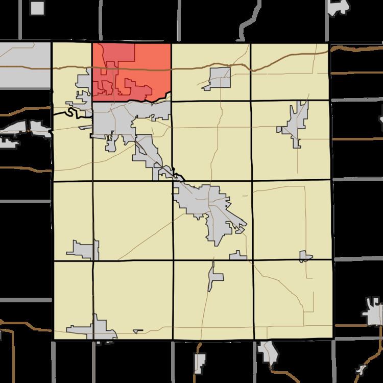
- Map of Osolo Township IN USA
- History
- Geography
- Cities and towns
- Unincorporated towns
- Major highways
- References
Map of Osolo Township, IN, USA
History
Osolo Township was organized in 1838.
Geography
According to the 2010 census, the township has a total area of 26.02 square miles (67.4 km2), of which 25 square miles (65 km2) (or 96.08%) is land and 1.02 square miles (2.6 km2) (or 3.92%) is water.
Cities and towns
Unincorporated towns
(This list is based on USGS data and may include former settlements.)
Major highways
References
Osolo Township, Elkhart County, Indiana Wikipedia(Text) CC BY-SA