
Country United States Time zone CST (UTC-6) Elevation 162 m Local time Monday 7:52 AM | Established November 5, 1861 ZIP codes 62838, 62858, 62899 Area 96.84 km² Population 322 (2010) | |
 | ||
Weather 10°C, Wind E at 10 km/h, 89% Humidity | ||
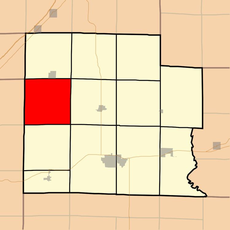
Oskaloosa Township is one of twelve townships in Clay County, Illinois, USA. As of the 2010 census, its population was 322 and it contained 134 housing units.
Contents
- Map of Oskaloosa Township IL USA
- Geography
- Unincorporated towns
- Cemeteries
- School districts
- Political districts
- References
Map of Oskaloosa Township, IL, USA
Geography
According to the 2010 census, the township (T4N R5E) has a total area of 37.39 square miles (96.8 km2), of which 37.37 square miles (96.8 km2) (or 99.95%) is land and 0.02 square miles (0.052 km2) (or 0.05%) is water.
Unincorporated towns
(This list is based on USGS data and may include former settlements.)
Cemeteries
The township contains these three cemeteries: Negro, Oskaloosa and Stipp.
School districts
Political districts
References
Oskaloosa Township, Clay County, Illinois Wikipedia(Text) CC BY-SA