
Local time Monday 1:35 PM | Time zone WAT (UTC+1) | |
 | ||
Weather 35°C, Wind W at 8 km/h, 47% Humidity | ||
Osina is a town in Ideato North Local Government of Imo State, Nigeria. Osina has four villages: Eluama, Uhualla, Ofeke, Umuduru/Umuogbu (Durunogbu). The Nnewi – Okigwe road passes through Osina. The Awka – Umuahia road which construction was abandoned in the mid 1980s also passes through Osina.
Contents
- Map of Osina Nigeria
- Education
- Health
- Churches and Places of Worship
- Festivals and Entertainment
- Shopping
- Economy
- Social Organisations in Osina
- Facilities
- References
Map of Osina, Nigeria
Education
There are four secondary schools in Osina:
There are six primary schools in Osina:
Health
Churches and Places of Worship
Festivals and Entertainment
Shopping
The main shopping centre is the Afor Market, which is open on daily basis between 7am and 7pm, with heighten activities every four days. The Nkwo Market is about 500 metres from the Afor Market and operates every fours days from 2pm to 7pm.
Economy
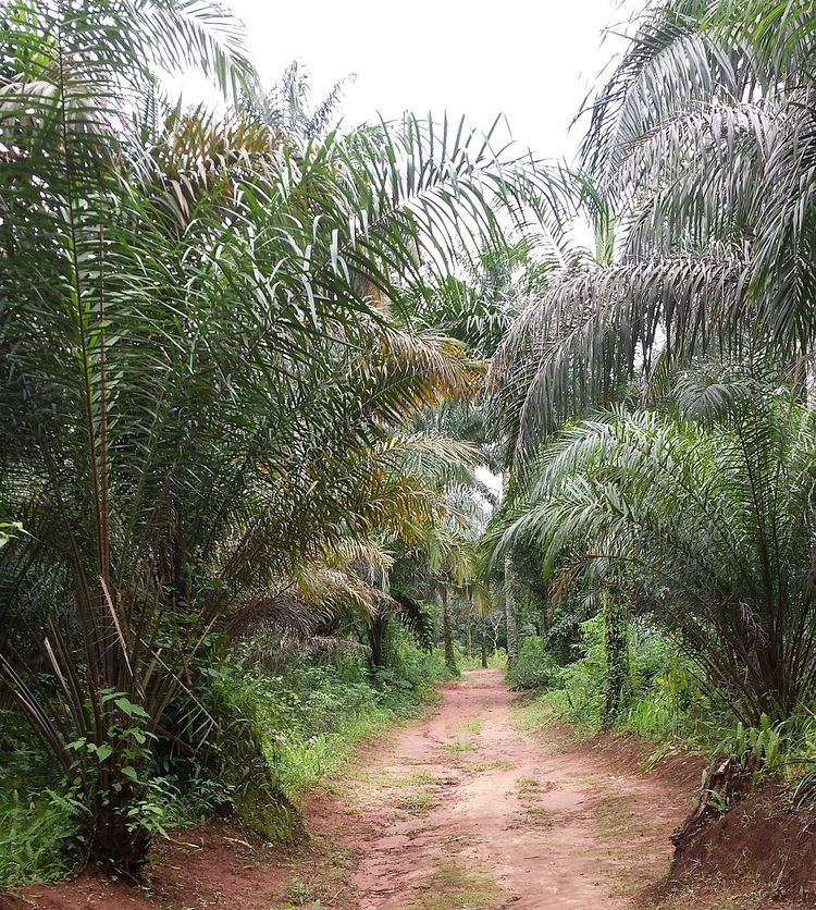
Residents of Osina are mainly traders and farmers. Chief crop is palm products such as palm oil, palm kernel, palm wine.
Social Organisations in Osina
Facilities
References
Osina, Ideato North Wikipedia(Text) CC BY-SA