
ZIP codes 50601, 50633 Elevation 345 m Local time Monday 6:01 AM | Time zone CST (UTC-6) GNIS feature ID 0468479 Area 92.9 km² Population 268 (2010) | |
 | ||
Weather 4°C, Wind NW at 10 km/h, 96% Humidity | ||
Osceola Township is one of sixteen townships in Franklin County, Iowa, United States. As of the 2010 census, its population was 268 and it contained 129 housing units.
Contents
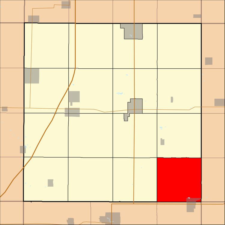
- Map of Osceola IA USA
- History
- Geography
- Cities towns villages
- Unincorporated towns
- Cemeteries
- Transportation
- School districts
- Political districts
- References
Map of Osceola, IA, USA
History
Osceola Township was created in 1857.
Geography
As of the 2010 census, Osceola Township covered an area of 35.87 square miles (92.9 km2); of this, 35.83 square miles (92.8 km2) (99.89 percent) was land and 0.04 square miles (0.10 km2) (0.11 percent) was water.
Cities, towns, villages
Unincorporated towns
(This list is based on USGS data and may include former settlements.)
Cemeteries
The township contains Oak Wood Cemetery, Pleasant Hill Cemetery and Saint Marys Cemetery.
Transportation
School districts
Political districts
References
Osceola Township, Franklin County, Iowa Wikipedia(Text) CC BY-SA