
Postcode(s) 2656 Elevation 137 m Local time Monday 8:52 PM | Postal code 2656 | |
 | ||
Weather 22°C, Wind SW at 27 km/h, 67% Humidity | ||
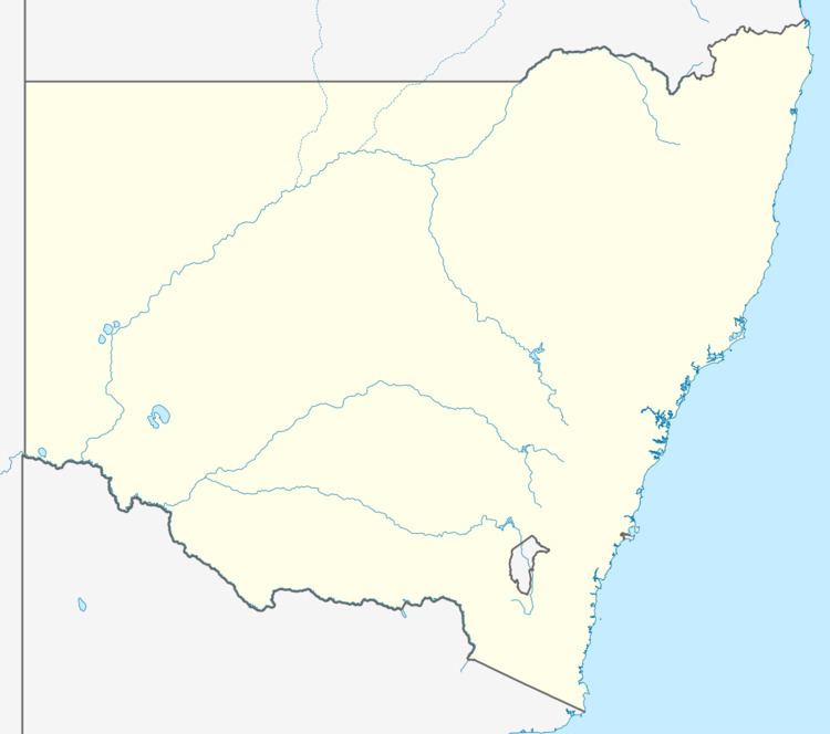
Osborne is a village community in the central east part of the Riverina. It is situated by road, about 15 kilometres south from Lockhart and 19 kilometres west from Woodend.
Map of Osborne NSW 2656, Australia
Gumholes Post Office opened on 1 September 1900, was renamed Osborne in 1902 and closed in 1951.
References
Osborne, New South Wales Wikipedia(Text) CC BY-SA