
Population 185 {2011} Civil parish Osbaldeston Dialling code 01254 | OS grid reference SD644324 Sovereign state United Kingdom | |
 | ||
Osbaldeston is a village and civil parish at grid reference SD6432 in Lancashire, England about 8 kilometres (5 mi) northwest of Blackburn and 10 kilometres (6 mi) east of Preston. The population of the civil parish as taken at the 2011 census was 185.
Map of Osbaldeston, Blackburn, UK
Osbaldeston is on the A59 road and lies on the south bank of the River Ribble opposite Ribchester. There is no Anglican place of worship but the Roman Catholic Church of St. Mary is at grid reference SD648318 in Longsight Road. The hamlet of Osbaldeston Green lies due north of the village.
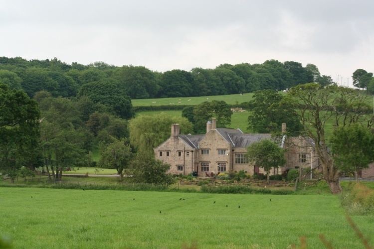
Osbaldeston Hall, which lies beside the Ribble, is a Grade II* listed building dating from about 1600. It is associated with the Catholic martyr Edward Osbaldeston.
References
Osbaldeston Wikipedia(Text) CC BY-SA