
Coat of arms Flag | Local time Monday 1:42 PM | |
 | ||
Municipal district Osinsky Municipal District Weather 2°C, Wind S at 27 km/h, 65% Humidity | ||
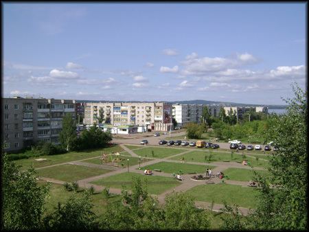
Osa (Russian: Оса́) is a town and the administrative center of Osinsky District in Perm Krai, Russia, located on the left bank of the Kama River near its confluence with the Tulva, 146 kilometers (91 mi) southwest of Perm, the administrative center of the krai. As of the 2010 Census, its population was 21,188.
Contents
Map of Osa, Permskiy Kray, Russia
History
It was founded in 1591 (according to other sources—in 1596) as the sloboda of Novonikolskaya (Новонико́льская) and later became a fortress. In a 1623 document, the settlement is referred to as the sloboda of Osinskaya Nikolskaya (Осинская Никольская), in 1678—as the sloboda of Osinskaya (Осинская), in 1732—as the village (selo) of Osa. It was granted town status in 1739. In 1960, oil fields were discovered near Osa. Oil extraction started in 1963.
Administrative and municipal status
Within the framework of administrative divisions, Osa serves as the administrative center of Osinsky District, to which it is directly subordinated. As a municipal division, the town of Osa, together with five rural localities, is incorporated within Osinsky Municipal District as Osinskoye Urban Settlement.