
County Hordaland Municipality Os Area 8.77 km² | Elevation 56 m (184 ft) | |
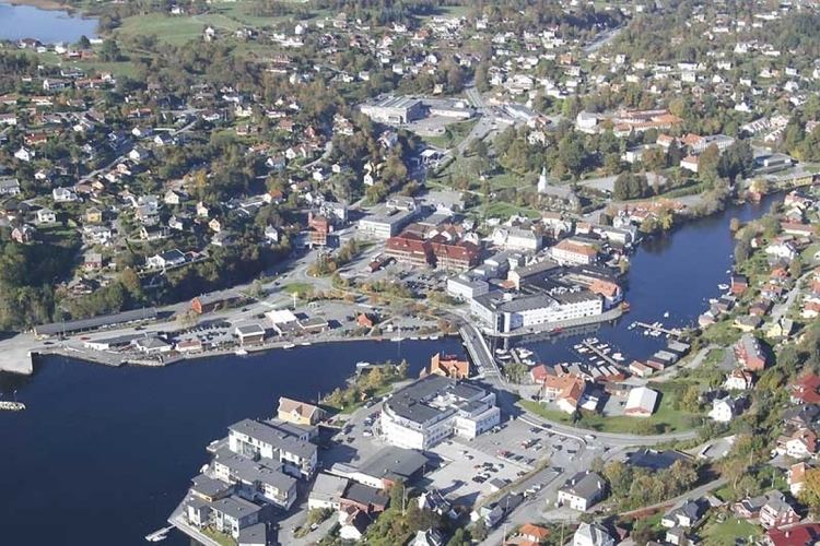 | ||
Osøyro is the administrative centre of Os municipality in Hordaland county, Norway. The village lies on the southwestern part of the Bergen Peninsula, along the western shore of the Fusafjorden, about 25 kilometres (16 mi) south of the city centre of Bergen. The European route E39 highway runs through the village on its way to Bergen. There is a car ferry from the east side of Osøyro to the village of Fusa, across the Fusafjorden. Os Church is located in the village.
Map of 5200 Os%C3%B8yro, Norway
Osøyro has several smaller suburban villages surrounding it: Søfteland to the north, Søvik to the northwest, Hagavik to the west, Søre Øyane to the southwest, and Halhjem to the south. The 8.77-square-kilometre (2,170-acre) urban area has a population (2013) of 12,195 which gives the area a population density of 1,391 inhabitants per square kilometre (3,600/sq mi).