
Country United States County Oswego FIPS code 36-55453 Elevation 305 m Population 1,167 (2010) Area code 315 | State New York Time zone Eastern (EST) (UTC-5) GNIS feature ID 0979320 Zip code 13426 Local time Monday 3:53 AM | |
 | ||
Weather 2°C, Wind SE at 19 km/h, 95% Humidity Area 107 km² (103.1 km² Land / 4.144 km² Water) | ||
Orwell is a town in Oswego County, New York, United States. The population was 1,167 at the 2010 census. The town was named after Orwell, Vermont.
Contents
Map of Orwell, NY 13426, USA
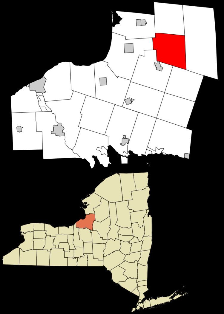
The Town of Orwell is in the north-central part of the county.
History
The town was first settled around 1806. The Town of Orwell was created from part of the Town of Richland in 1817. In 1828, Orwell was reduced by the founding of the Town of Boylston, but more territory was obtained from Richland in 1844.
The Town of Orwell is a "dry" community.
Geography
According to the United States Census Bureau, the town has a total area of 41.3 square miles (107 km2), of which, 39.8 square miles (103 km2) of it is land and 1.5 square miles (3.9 km2) of it (3.75%) is water.
Demographics
As of the census of 2000, there were 1,254 people, 419 households, and 300 families residing in the town. The population density was 31.5 people per square mile (12.2/km²). There were 701 housing units at an average density of 17.6 per square mile (6.8/km²). The racial makeup of the town was 98.17% White, 0.88% African American, 0.32% Native American, 0.08% Asian, and 0.56% from two or more races. Hispanic or Latino of any race were 0.48% of the population.
There were 419 households out of which 35.1% had children under the age of 18 living with them, 58.7% were married couples living together, 7.4% had a female householder with no husband present, and 28.4% were non-families. 21.2% of all households were made up of individuals and 7.2% had someone living alone who was 65 years of age or older. The average household size was 2.79 and the average family size was 3.23.
In the town, the population was spread out with 28.6% under the age of 18, 7.0% from 18 to 24, 28.1% from 25 to 44, 26.5% from 45 to 64, and 9.7% who were 65 years of age or older. The median age was 36 years. For every 100 females there were 120.0 males. For every 100 females age 18 and over, there were 124.9 males.
The median income for a household in the town was $35,000, and the median income for a family was $37,500. Males had a median income of $34,000 versus $21,500 for females. The per capita income for the town was $15,256. About 16.6% of families and 21.5% of the population were below the poverty line, including 25.7% of those under age 18 and 10.4% of those age 65 or over.