
 | ||
An orthophotomosaic is a raster image made by merging orthophotos — aerial or satellite photographs which have been transformed to correct for perspective so that they appear to have been taken from vertically above at an infinite distance. Google Earth images are of this type.
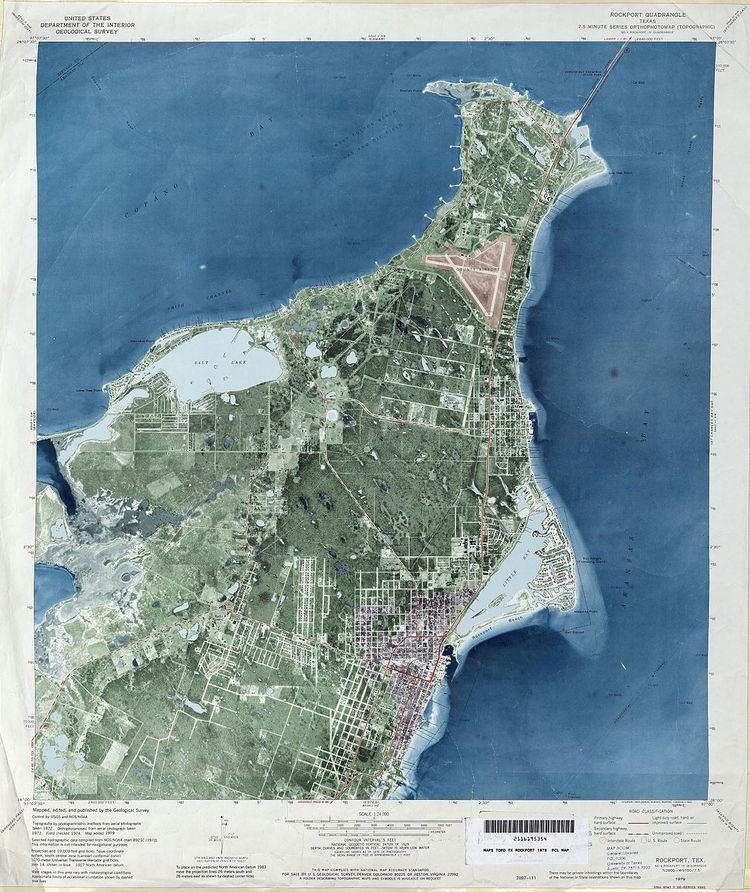
The document (digital or paper) representing an orthophotomosaic with additional marginal information like a title, north arrow, scale bar and cartographical information is called an orthophotomap or image map. Often these maps show additional point, line or polygon layers (like a traditional map) on top of the orthophotomosaic. A similar document, mostly used for disaster relief, is called a spatiomap.
References
Orthophotomap Wikipedia(Text) CC BY-SA