
 | ||
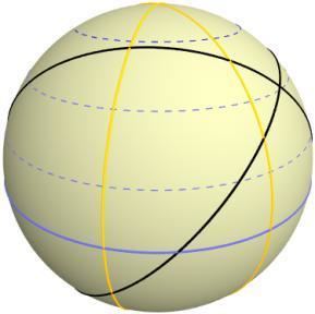
The orthodromic navigation (related to orthodromic course; from the Greek ορtóς, right angle, and δρóμος, path) is a way to navigate following an arc of great circle corresponding to the shortest distance between two points on the globe.
Since the Earth is roughly a sphere, the orthodromic distance of the is often used by mariners to find the distance between two coordinates (knowing its longitude and its latitude) on a map, and the course to be taken to go from one to the other.
Calculation